Lick Run Greenway Heritage Trail
WELCOME TO THE HERITAGE TRAIL!
Welcome to the Heritage Trail, a guide to the Lick Run Greenway and celebration of the unique ecological and cultural history of South Fairmount and the Lick Run watershed.
We invite you to take a virtual tour of the Greenway (through this website) or to put on your walking shoes and hit the paths in person.
The Heritage Trail is a series of educational signs that talk about the ecological and cultural history of the area and the Lick Run Greenway project. The trail winds through the Lick Run Greenway, but also expands into the South Fairmount neighborhood to capture stories about hillside vineyards, churches and schools, and bygone modes of transportation.
To take a virtual tour, please visit the links below.
For a walking tour, please go directly to our GOOGLE MAPS >
For more information about the Lick Run Greenway and its purpose, please visit our LICK RUN GREENWAY > page
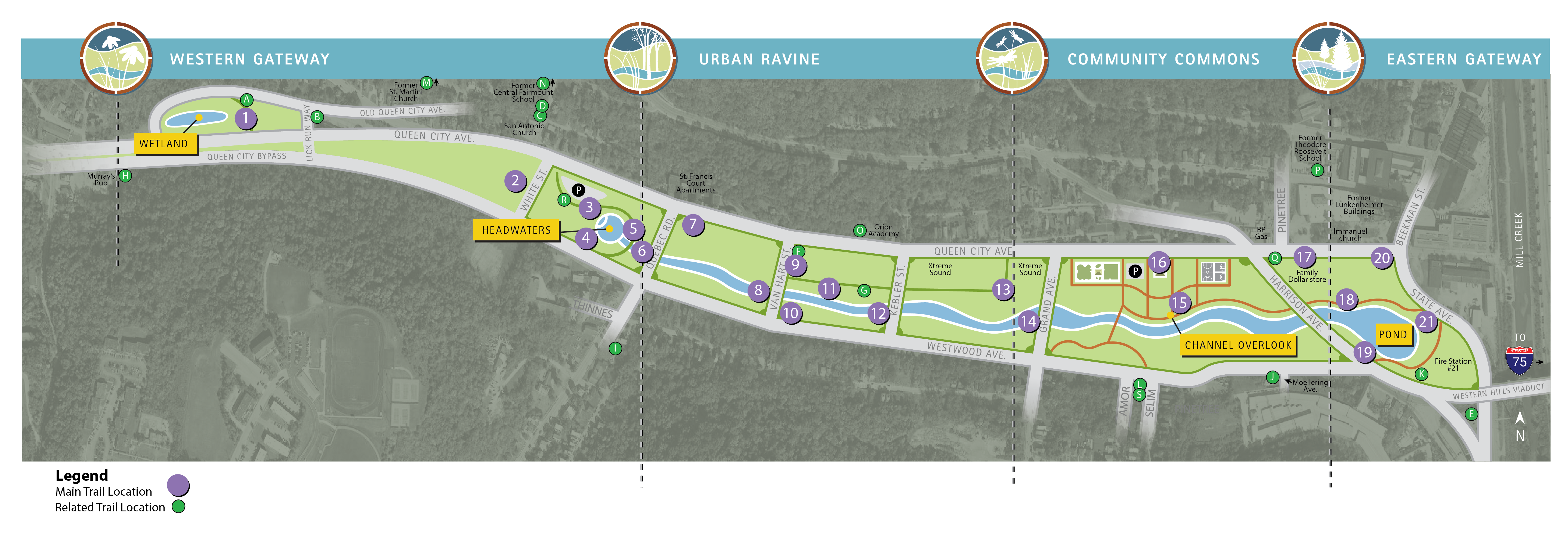
TRAIL LOCATIONS 1-10
Trail Location 1: Forebay Pond The forebay pond is the official, but less visible, beginning of the Lick Run Greenway.
Trail Location 2: Little Italy South Fairmount was once known as "Little Italy," and the founder of LaRosa's Pizza grew up in the neighborhood.
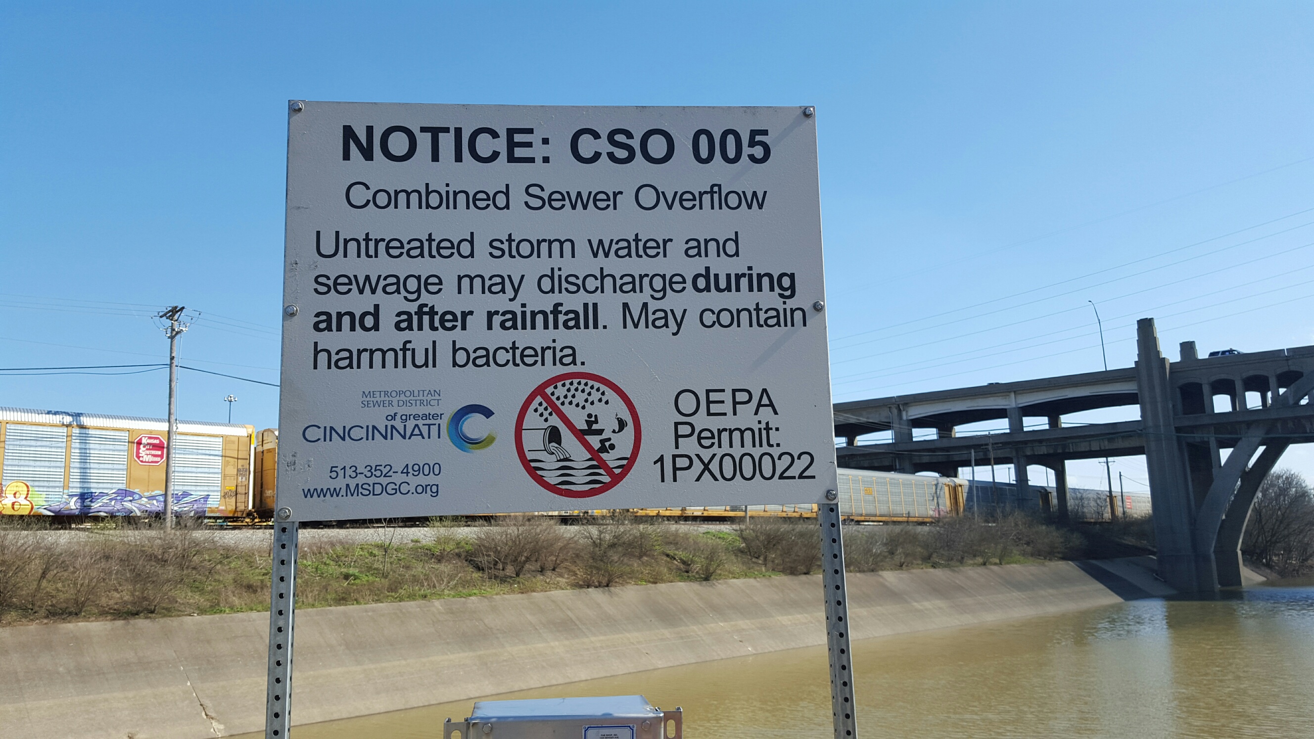
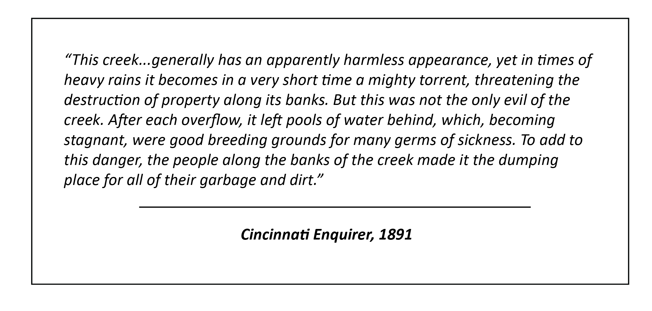
Trail Location 3: A Story of Rainwater Runoff and a Community Learn about the history of the Lick Run watershed.
Trail Location 4: Prohibition How Prohibition shaped South Fairmount
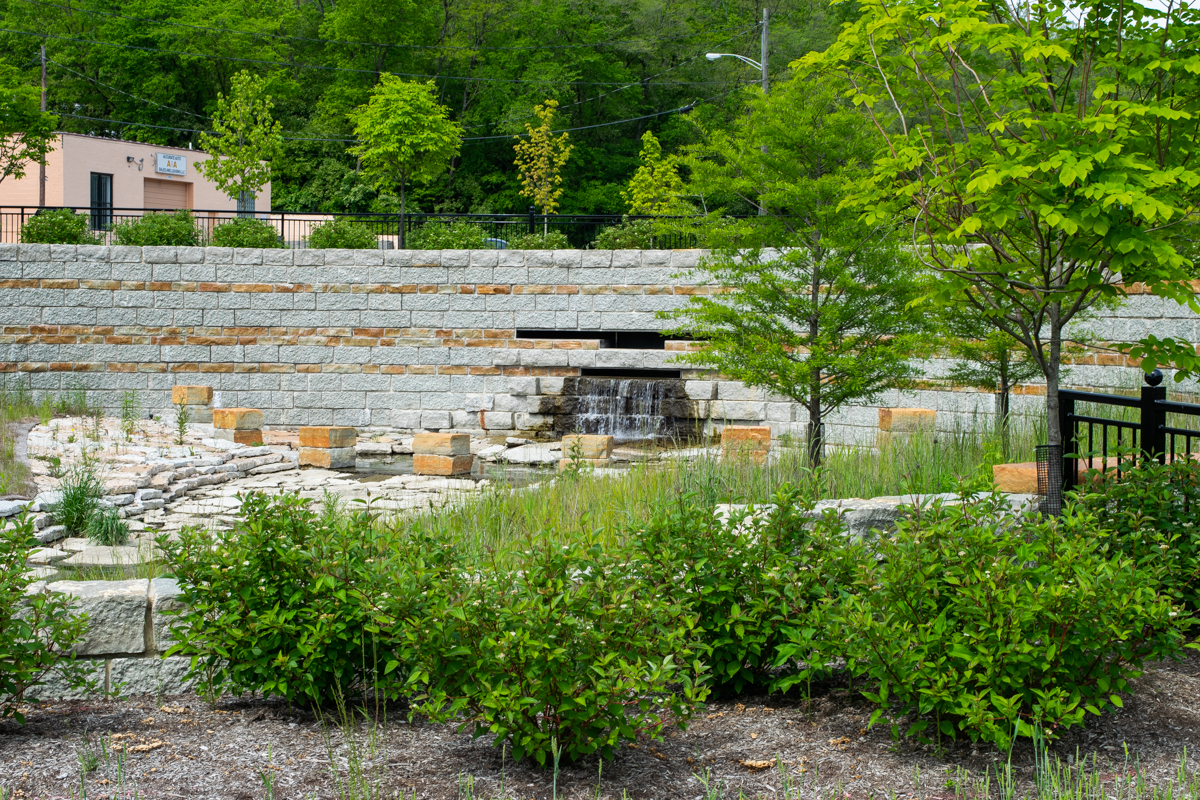
Trail Location 5: The Headwaters The Headwaters waterfall feature marks the beginning of the Lick Run Greenway stream.
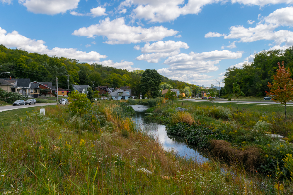
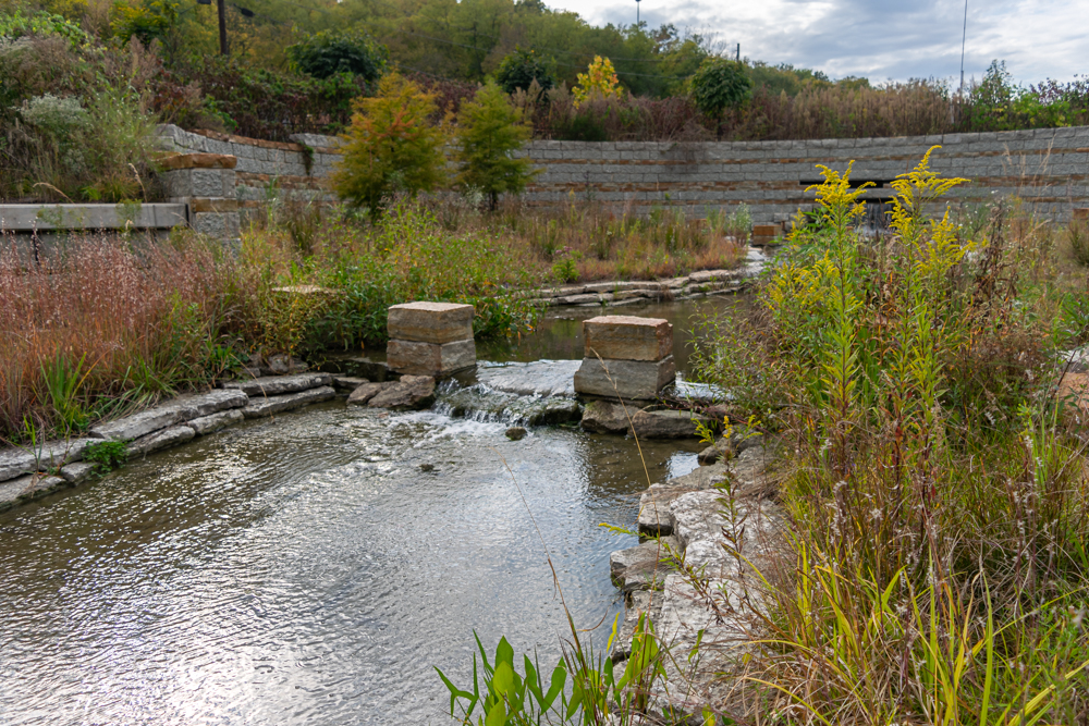
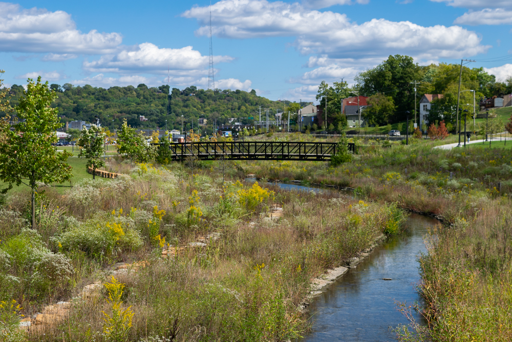
Trail Location 6: Stream Channel: The Lick Run Greenway stream channel meanders for about a mile.
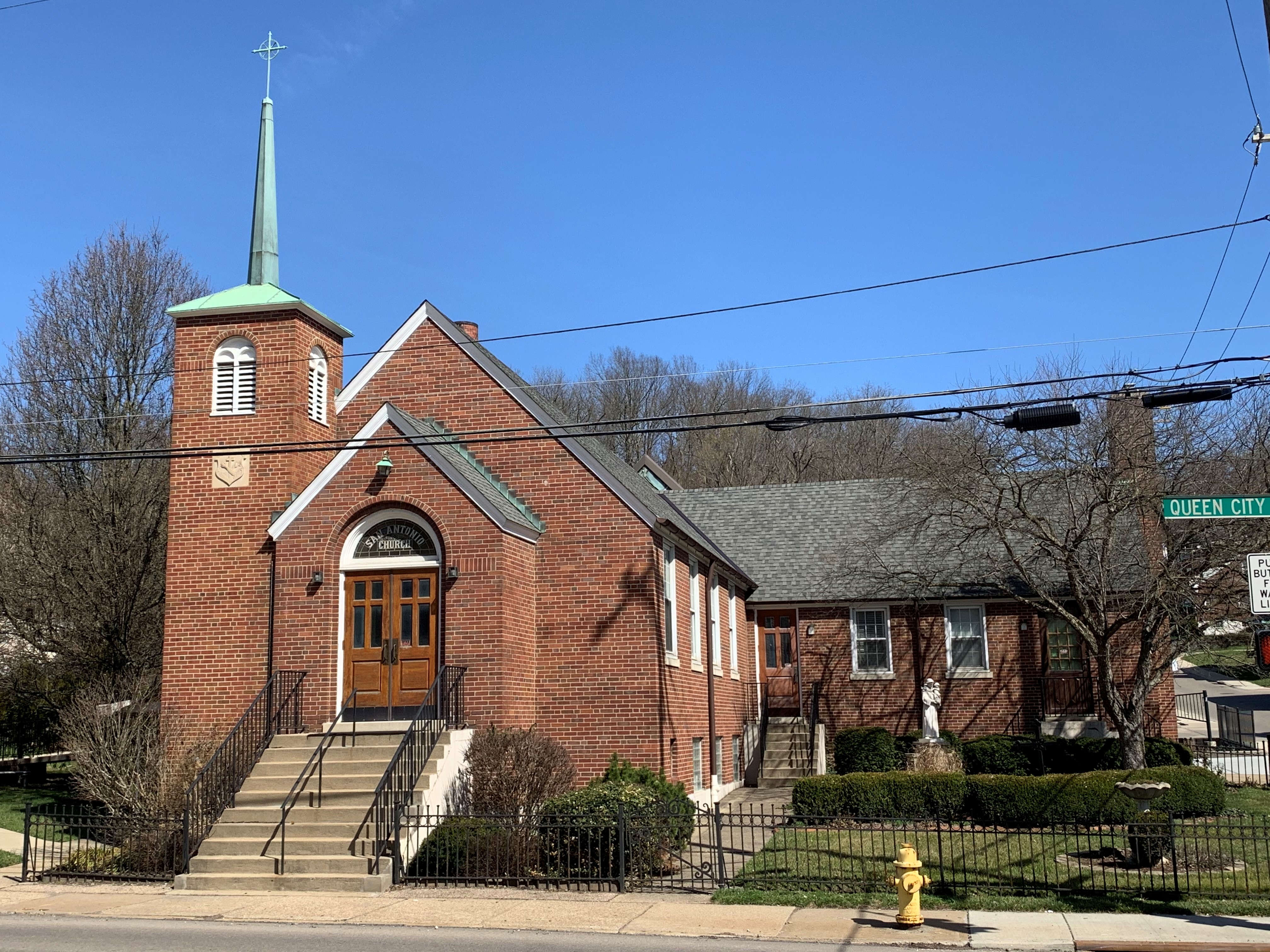
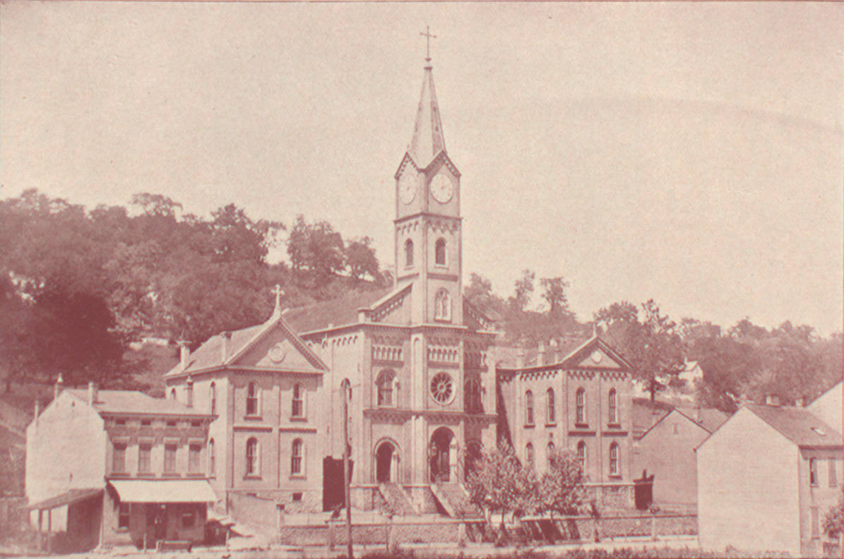
Trail Location 7: Heart of the Community: St. Bonaventure and St. Francis Hospital The Catholic Church was the center of community life in South Fairmount, with St. Bonaventure Church and School and St. Francis Hospital serving as the anchors.
Trail Location 8: History of the Watershed Thousands of years ago, the Lick Run watershed was at the bottom of a warm, shallow sea, which over time produced the rock layers of limestone, shale, and sandstone that are so familiar in our area.
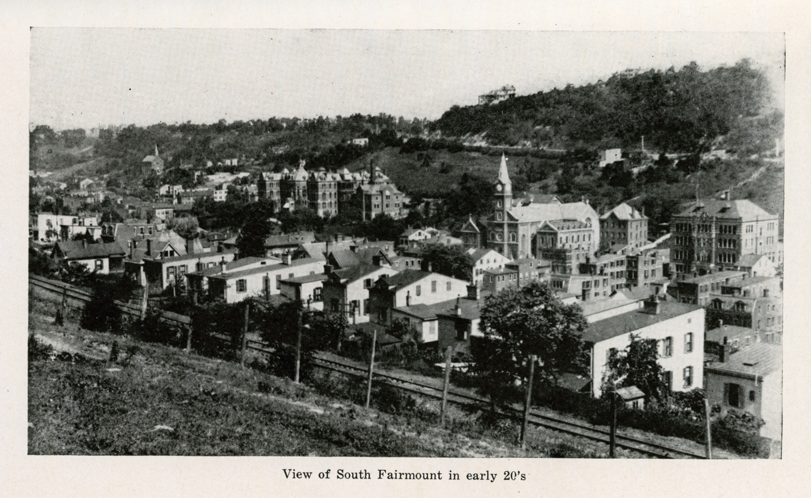
Trail Location 9: Architectural Styles The architecture of South Fairmount is a living reminder of the neighborhood’s social and cultural evolution.
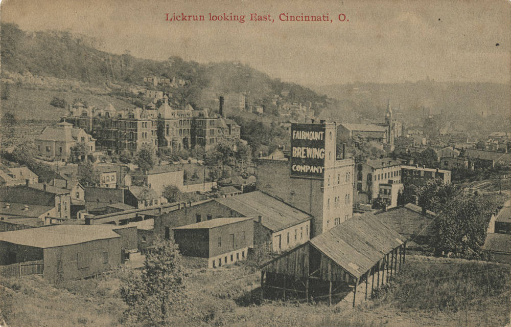
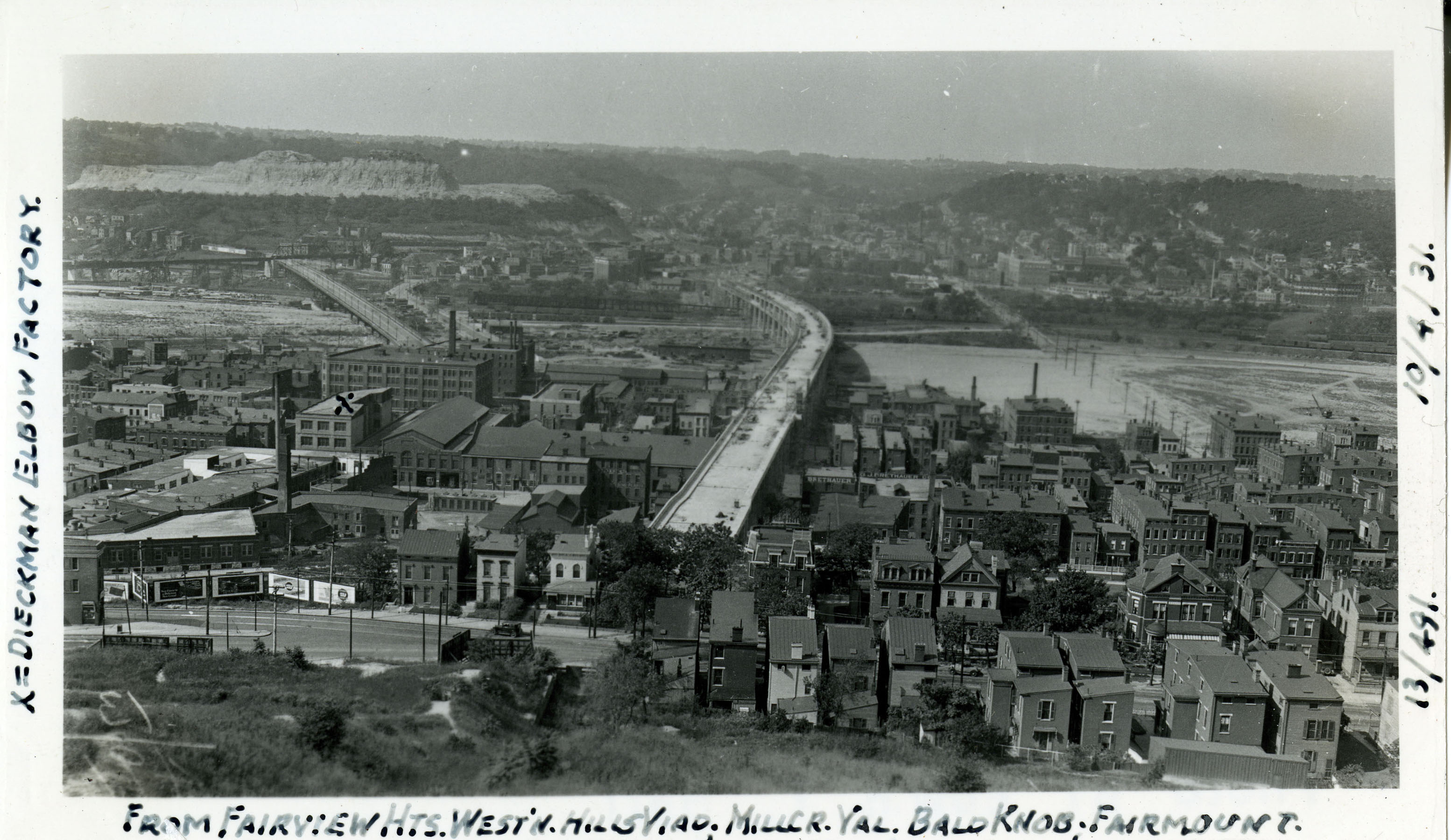
Trail Location 10: Evolution of South Fairmount: Industry and Immigrants As one of Cincinnati’s “Seven Hills,” South Fairmount holds a special place in the history of the Queen City.
TRAIL LOCATIONS 11-21
Trail Location 11: A Story of Rainwater Runoff and a Community Learn about the history of the Lick Run watershed.
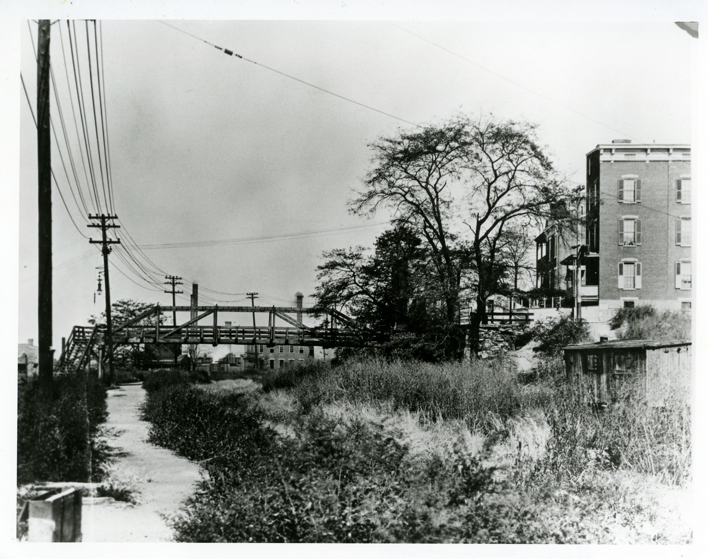
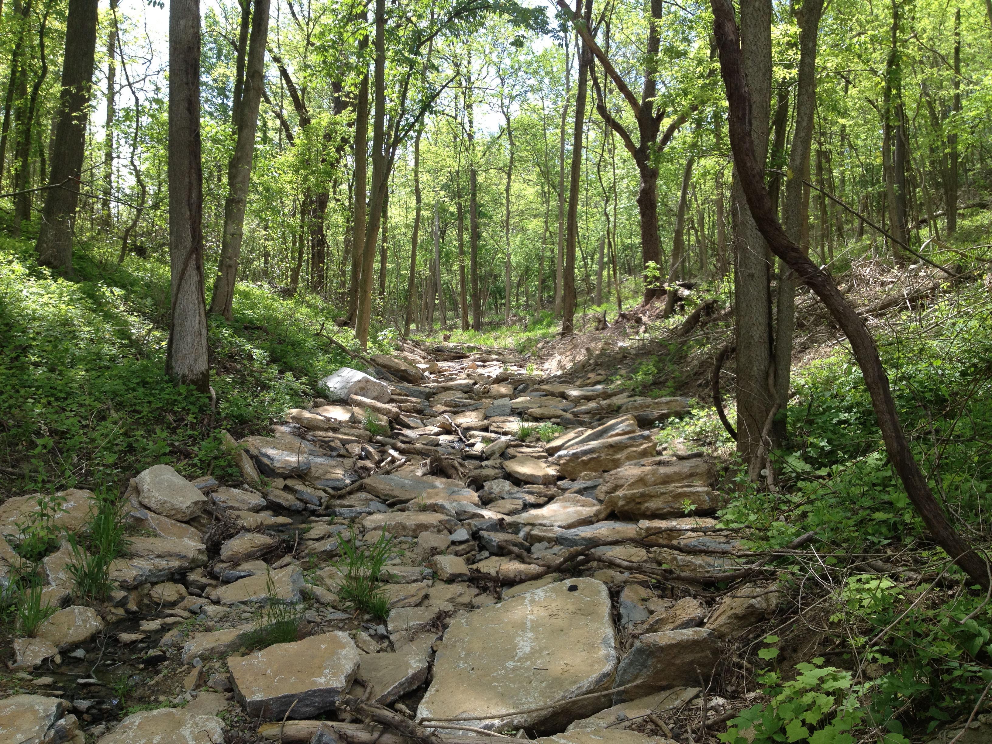
Trail Location 12: Urban Ravine The upper portion of the Lick Run Greenway stream channel is narrow and fairly straight, with steeper banks than farther downstream.
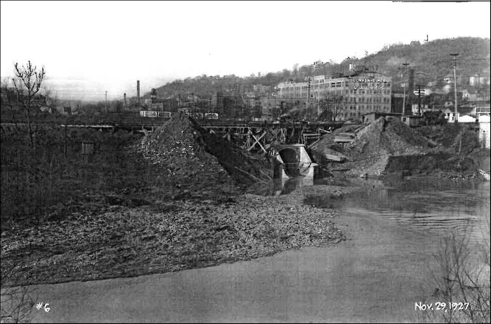
Trail Location 13: Restoring a Stream Landscape Before people began to settle here, the landscape primarily consisted of a forested valley and hillsides. A stream known as Lick Run flowed naturally through the valley to the Mill Creek.
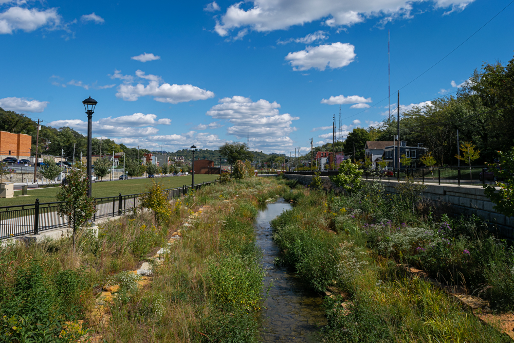
Trail Location 14: Meandering Stream The lower portion of the Lick Run Greenway stream channel is wide with banks that are less steep than those in upstream areas.
Trail Location 15: Evolution of the Lick Run Corridor Before South Fairmount was settled by people, the Lick Run stream flowed naturally through forested hillsides and a valley.
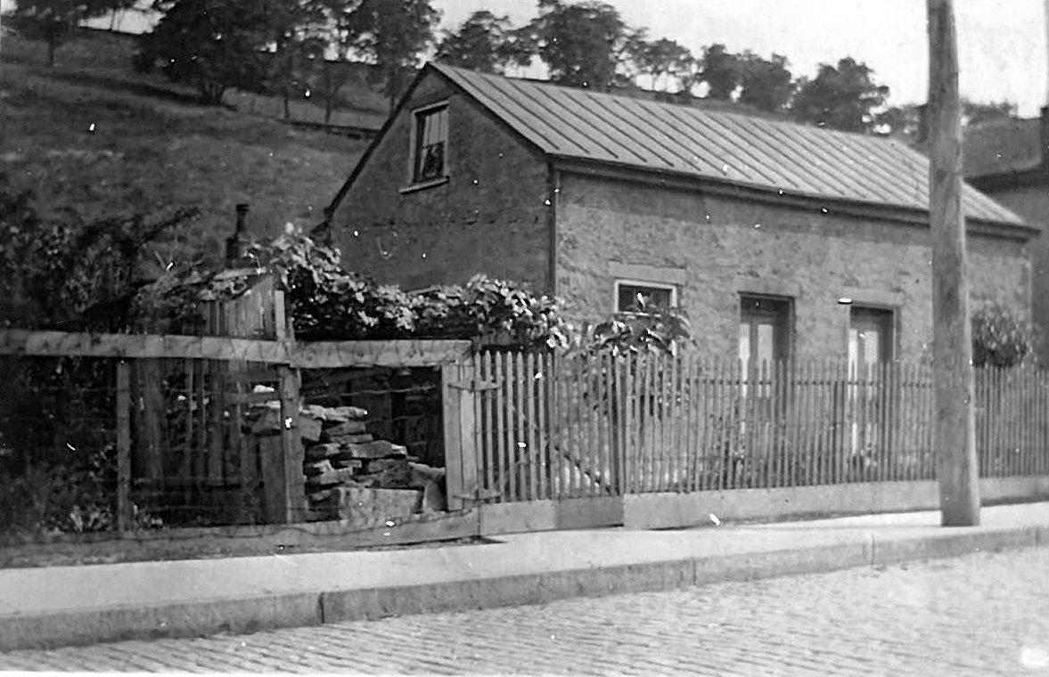
Trail Location 16: Public Infrastructure in South Fairmount The growth of South Fairmount would not have occurred without the development of roads, public transportation, sewers, and other public infrastructure.
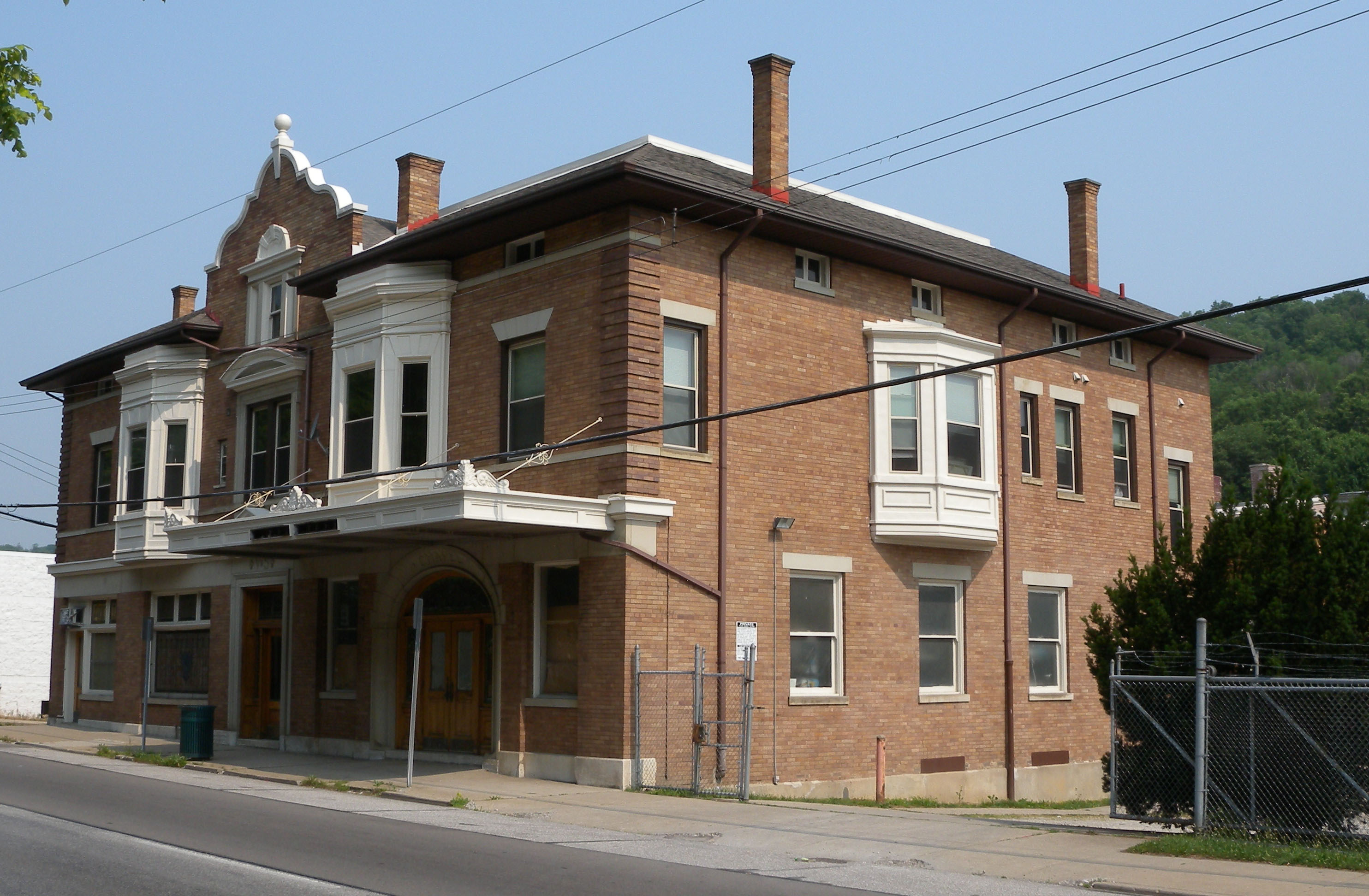
Trail Location 17: Building Community in Churches and Schools For more than 200 years, churches and schools have been the glue bringing people together and creating a vibrant, ever-evolving neighborhood.
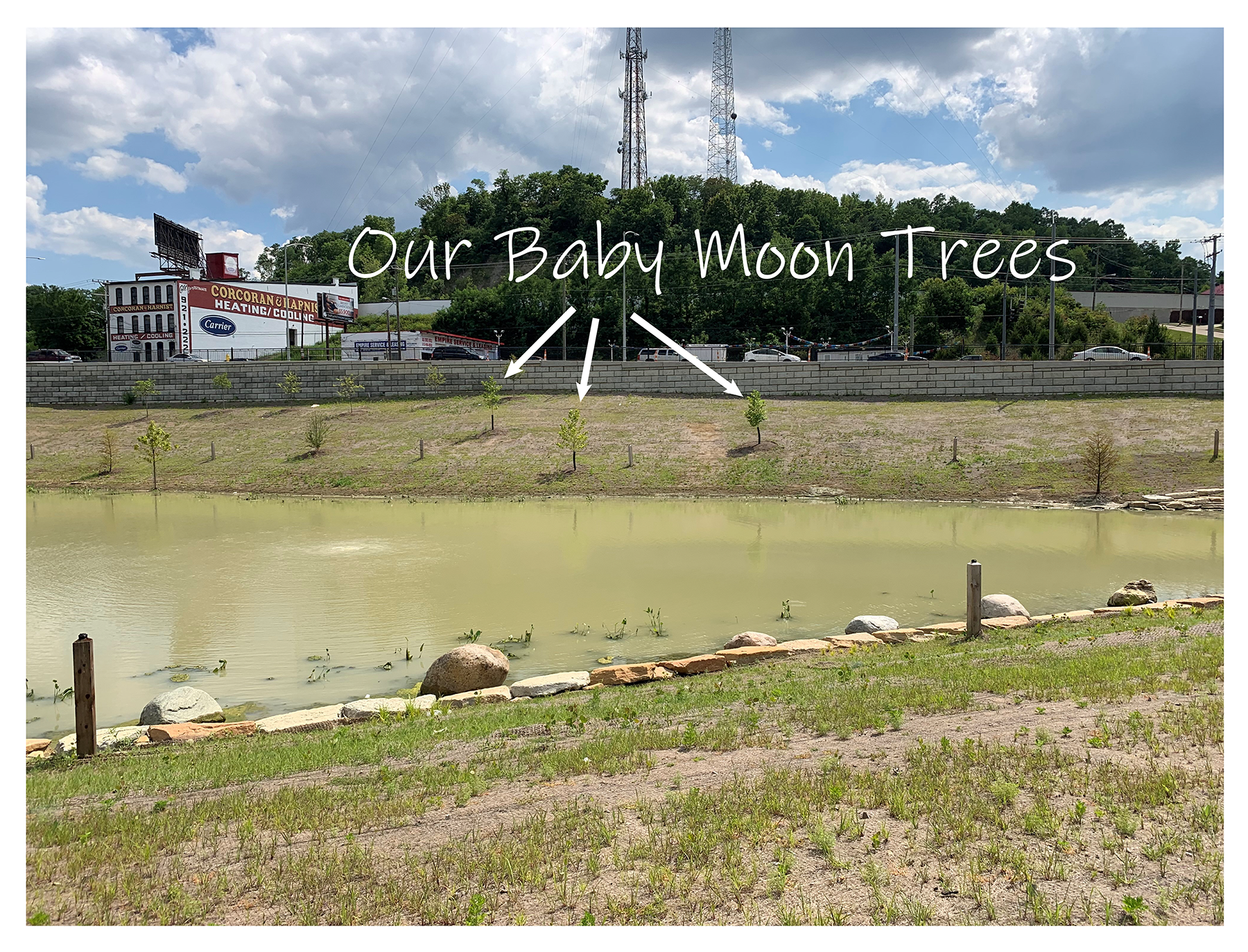
Trail Location 18: The Pond (north side) Learn the history behind three cloned baby moon trees planted at the pond.
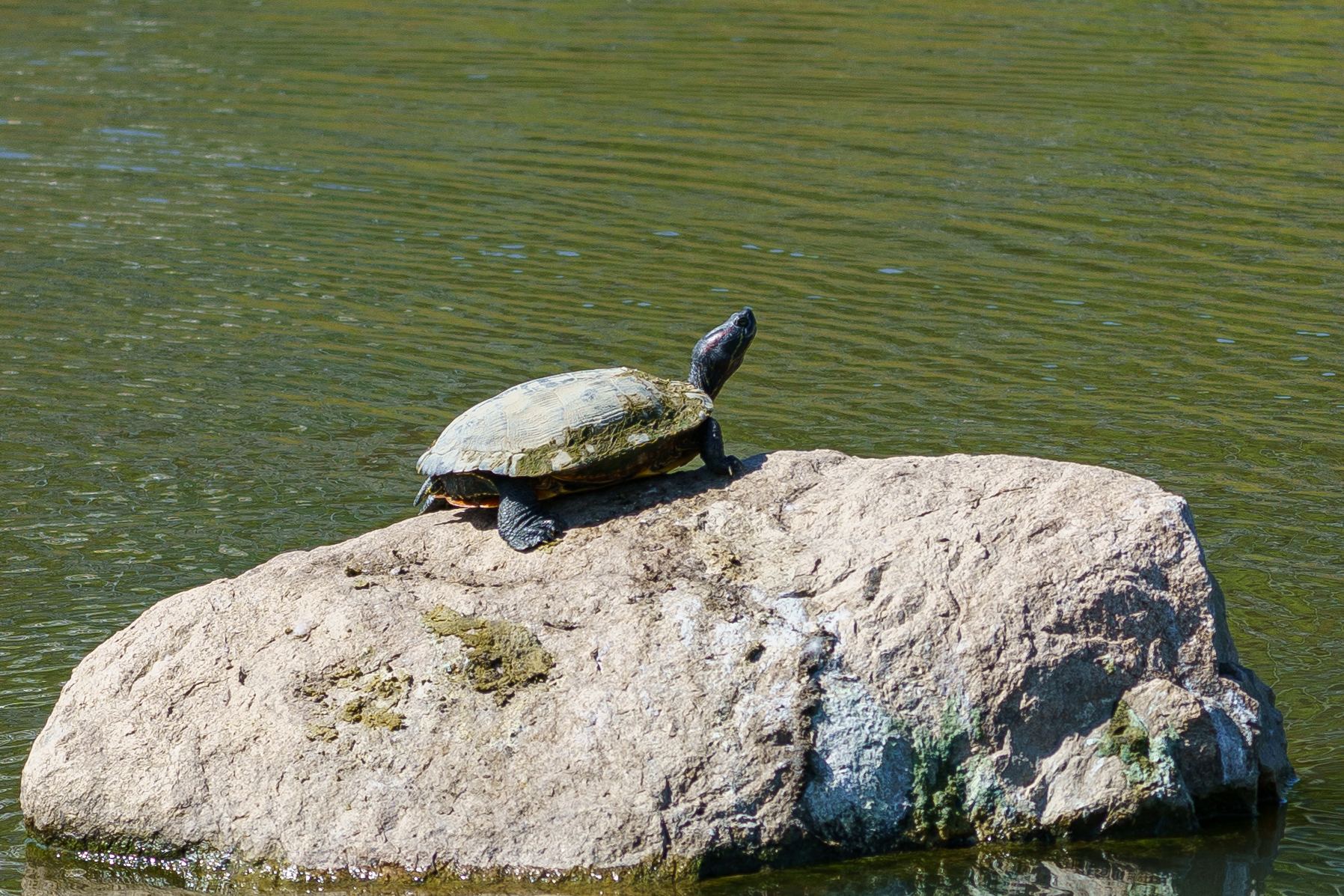
Trail Location 19: The Pond (south side) The pond is the last stop for rainwater on its way to the Mill Creek.
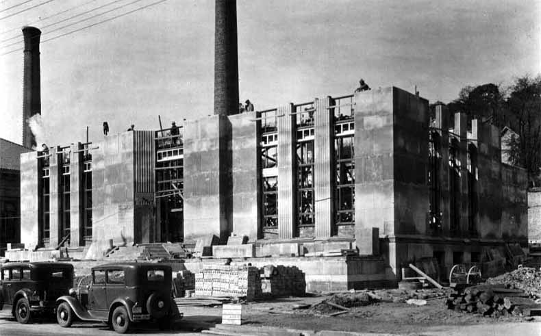
Trail Location 20: South Fairmount's Industrial Roots The history of industry in South Fairmount.

Trail Location 21: The Story of Rainwater Runoff and a Community Learn about the history of the Lick Run watershed.