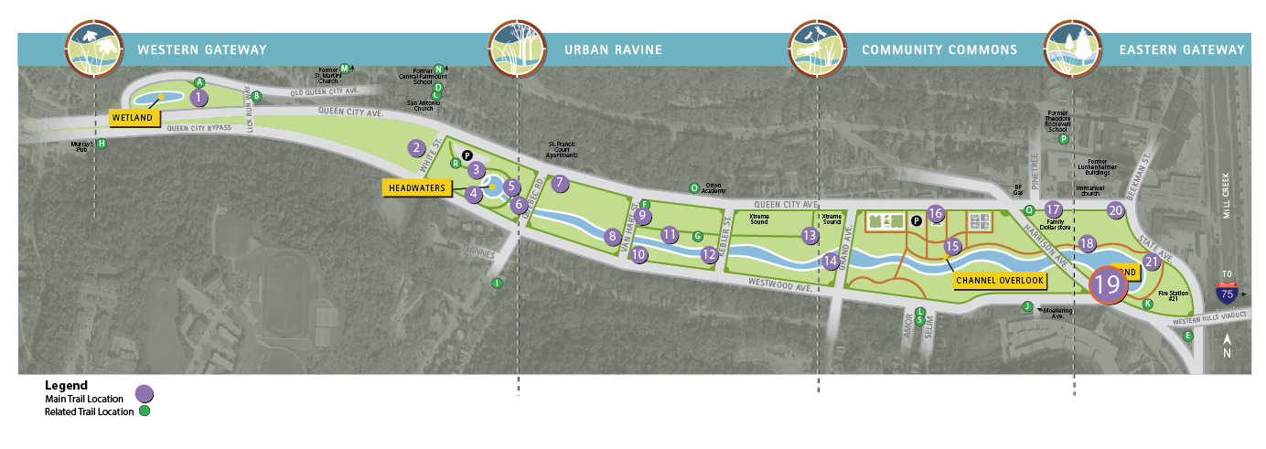
Trail Location 19: The Pond (south side)
Walking Tour? VIEW THE TRAIL LOCATION IN GOOGLE MAPS >
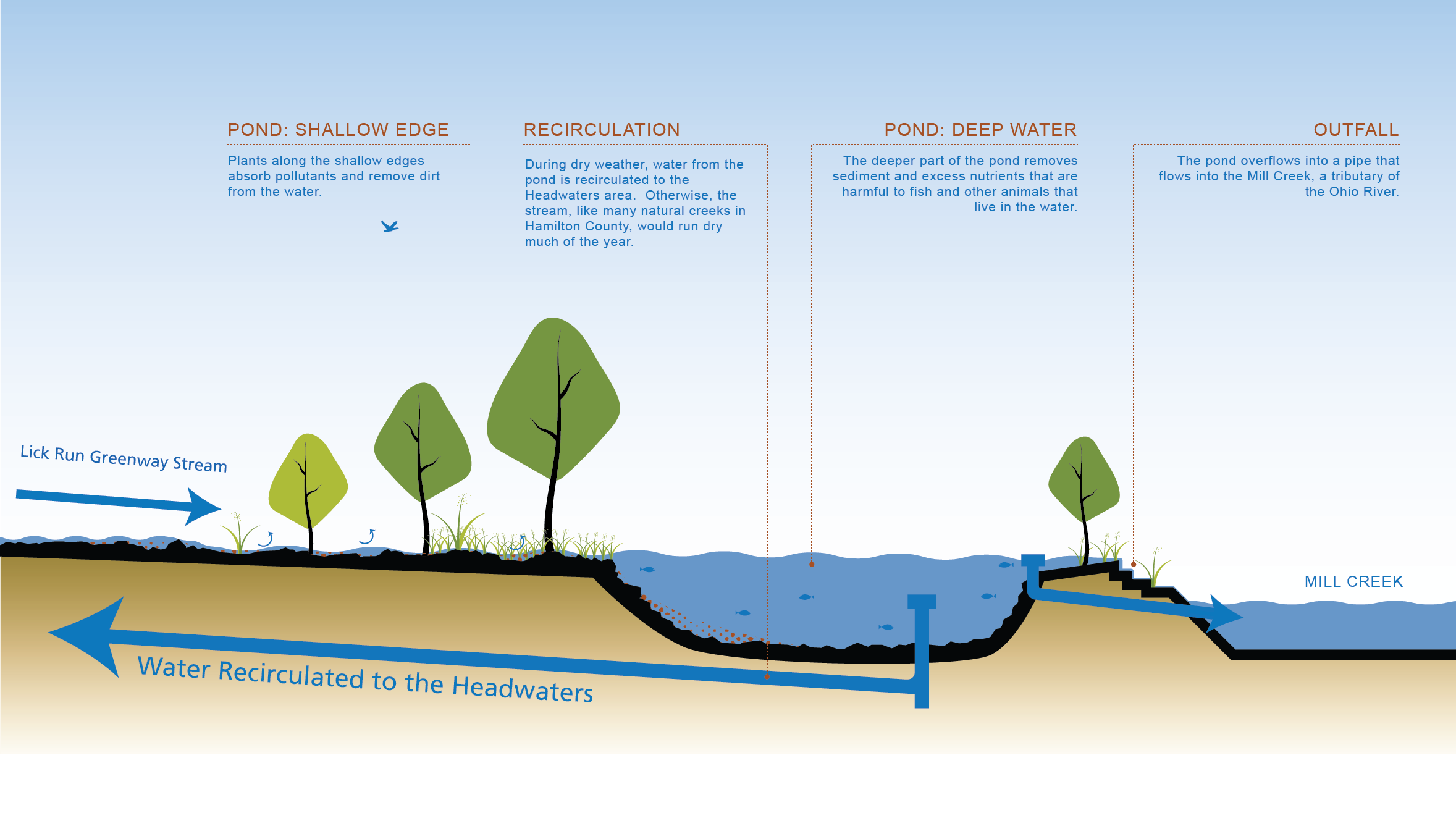
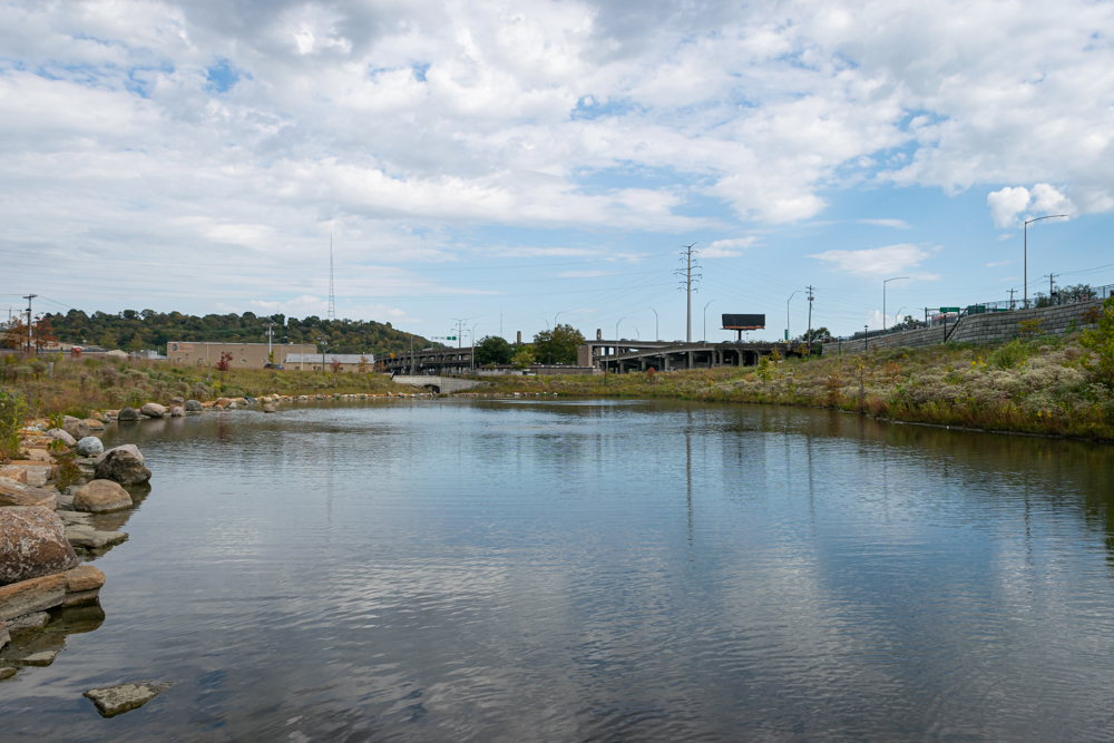
THE POND (SOUTH SIDE)
Located east of Harrison Avenue, the pond is the last stop for rainwater on its way to the Mill Creek.
The purpose of the pond is to clean the rainwater one last time before it enters the Mill Creek. Designed to mimic a natural pond, it helps remove sediment from the rainwater.
WHAT CAN YOU SEE?
- Pond: The pond is about 2 acres in size and about 10 feet deep at its deepest point. The deeper part of the pond removes sediments and excess nutrients that are harmful to fish and other animals that live in the water.
- Native Plants: Plants along the shallow sides of the pond absorb pollutants and provide habitat for many organisms.
- Habitat: The pond creates an important habitat for native plants and animals. Many migrating birds fly over this area, so the pond will provide a good resting spot during their journey. Canada geese have already made the pond their home.
- Recirculation: During dry weather, water from the pond is recirculated to the Headwaters. Otherwise, this stream, like many natural creeks in the area, would run dry much of the year.
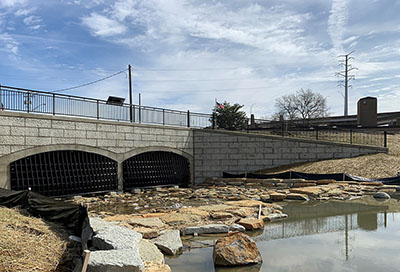
- Outfall: At the northeast corner of the pond, there is an outfall structure. When the water level in the pond rises, the pond passively overflows through this structure and into the underground stormwater conveyance box. The outfall into the Mill Creek is about 250 feet to the east of the pond.